Walk Leader
Andrew Williams LRPS
Capacity
8
The River Weaver was “improved” in the 18th century to facilitate the transportation of salt, coal, and other goods between the industrial towns of Cheshire and the ports of the River Mersey. The River Weaver Navigation opened in 1732, becoming one of the UK’s earliest and most successful navigations.
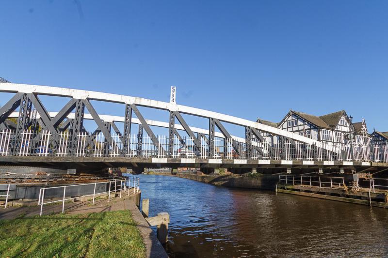
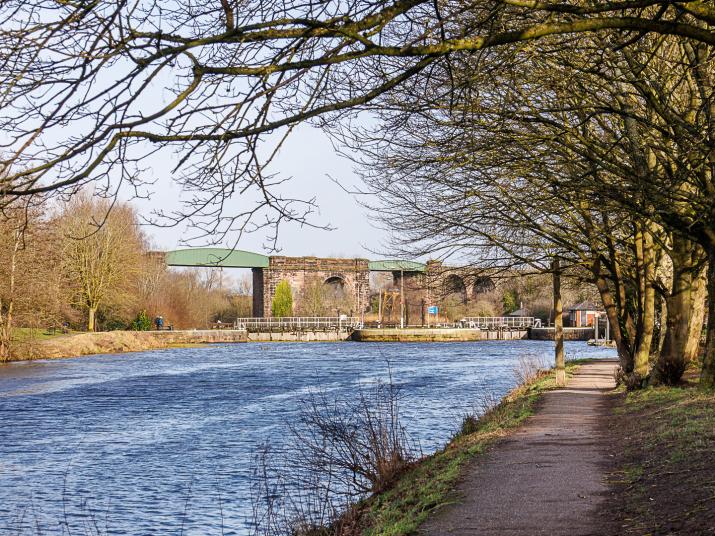
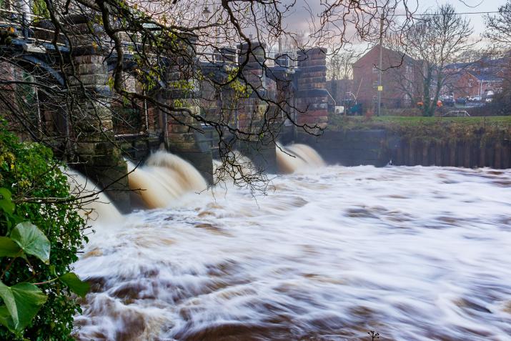
After a short road walk from our meeting point in Northwich crossing a swing bridge the route will head into the countryside mainly following the wooded banks of the River with opportunities for both conventional landscape images as well as elements of it's industrial past such as railway viaducts, boatyards, locks, sluices and some of the earliest electrically operated swing bridges in the country.
Part of the walk takes in the Marshall's Arm Nature Reserve.
There is the opportunity for a café break after approximately 5.5 km We will return to the start via picturesque River Dane. The walk is approximately 7.5km long on well made paths with little climb. There are public toilets near the string point but none on the walk itself.
I produced a 6 minute video as part of the RPS Soundscapes project which shows some of the locations we will visit.
You can see the AV here.
Walk Location
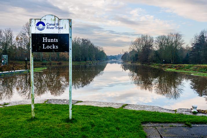
River Weaver Locks and Bridges
Walk Directions
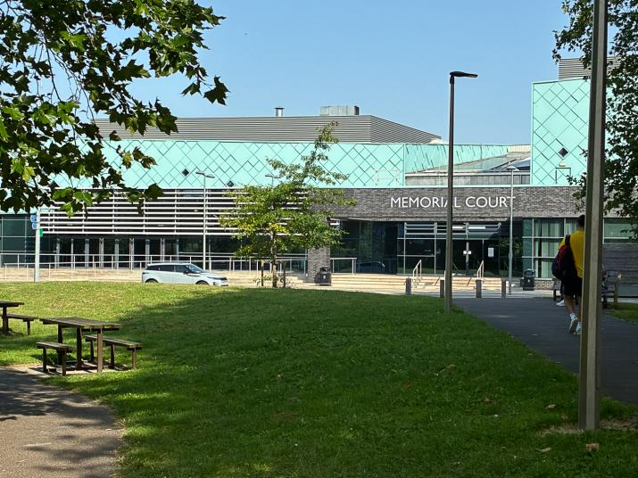
The walk will start outside the SOUTH entrance to the Brio Memorial Court Leisure Centre. There is a large Memorial Court car park, CW9 5QJ, What Three Words weeks.gosh.device but it can get busy Charges £1.30 up to 6 hours. Card payments accepted.
A nearby alternative is on the NORTH side of the Leisure Centre Victoria Club Car Park CW9 5ER, What Three Words faster.rated.pretty £1.50 up to 6 hours.
Northwich railway station is n the Chester to Altrincham line (connections to the Metrolink Tram system). It's about 15 minutes walk from our meeting point.
The main bus stop is a couple of minutes from the Leisure Centre with connections to Warrington, Chester and Crewe.
Accessibility
The walk is mainly on flat well surfaced paths, however there are some grassy and potentially muddy sections and a couple of short but steep ramps. Crossing the locks involves tackling some large steps on and off the gates which may preclude wheelchair use.
Feedback Meeting Type
In Person
Feedback Talk Date and Time
Feedback Talk Address
Walk Mill
Walk Mill Ln.
Waverton
Chester
CH3 7BF
United Kingdom
Feedback Talk Location
53.17309347921, -2.7734470367432
Feedback Talk Directions
Look out for a large waterwheel at the roadside and turn into Walk Mill Lane. Follow the track to a car park next to the water mill.
We will discuss our images and select one to forward.