Capacity
15
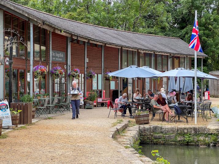
We meet at the Angel Fish Cafe, just off the A36 Brassknocker Hill BA2 7JD. There is a car park at this postcode - cash and cards accepted.
The walk follows the Somersetshire Coal Canal towpath to Dundas Basin and the Dundas Aquaduct before joining the Kennet & Avon Canal, where we meet up with Ferry Lane which takes us across the level crossing, past Claverton Pumping Station, and into a field leading to Warleigh Weir. We re-trace our route back to the Angel Fish Cafe. Total distance is about 3 miles.
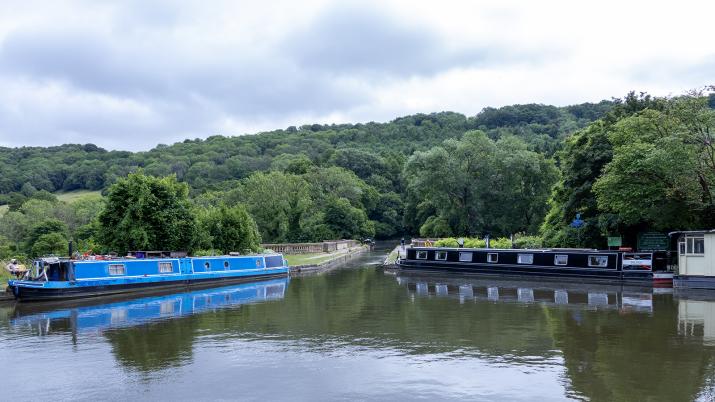
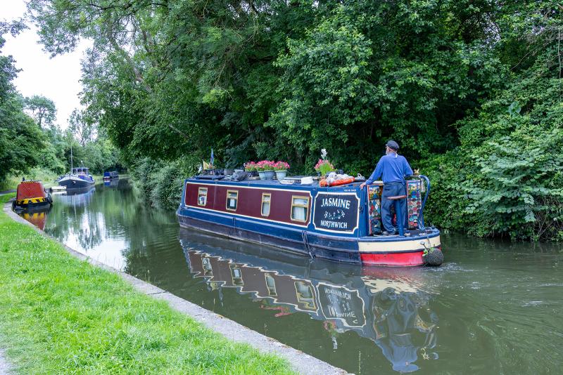
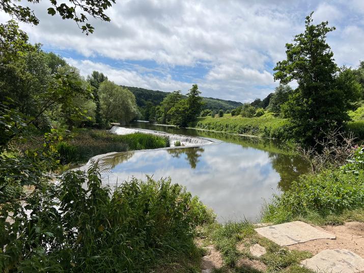
The canal is busy with barges both moored and travelling along the canal. There are plenty of photographic opportunities along the route including structures and arches, Dundas Aquaduct, lock gates and weathered details of engineering, a view of the pumping station and its water wheel, and there is likely to be plenty of autumn colour by October. For those willing to carry a tripod Warleigh Weir offers opportunities for long exposure images.
The Cafe is open from 10am to 5pm and there are toilets available outside the cafe but no-where else on the route.
Normal walking shoes will be fine for almost all the route however if we have had rain the field walk to Warleigh Weir could be a little muddy though not very far.
Walk Location
Somersetshire Coal Canal - Angel Fish cafe to Warleigh Weir
Walk Directions
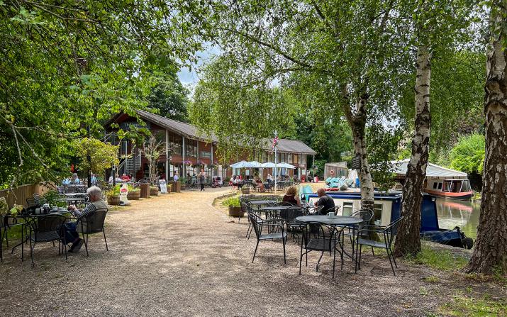
From the A36 Warminster to Bath Road, at the traffic lights at Brassknocker Hill take the B3108 towards Winsley and Bradford on Avon. The car park is immediately on the left BA2 7JD. Walk up the slope to the Angel Fish Cafe pictured. The car park takes cash and card. Suggested time for parking 4 hours.
https://www.bath-narrowboats.co.uk/angelfish-restaurant-cafe/
If coming by public transport bus D1 leaves Bath Bus Station hourly and takes approximately 20 minutes to Monkton Combe Aquaduct.
Accessibility
The walk is easy, mainly flat and along the canal towpath, a total distance of 3 miles. Where the towpath meets Ferry Lane there is an incline but the ground is firm. There is the option to turn back at this point and re-trace the route back to the Angel Fish Cafe or go on up the hill to Claverton Pumping Station and Warleigh Weir. There is virtually no parking at Ferry Lane.
Feedback Meeting Type
Zoom
Feedback Talk Date and Time